
A harbor with another journey behind it
New York’s location offered more than a place for ships to stop. The harbor opened onto the Atlantic, while the Hudson led inland. The value was in the connection between them.
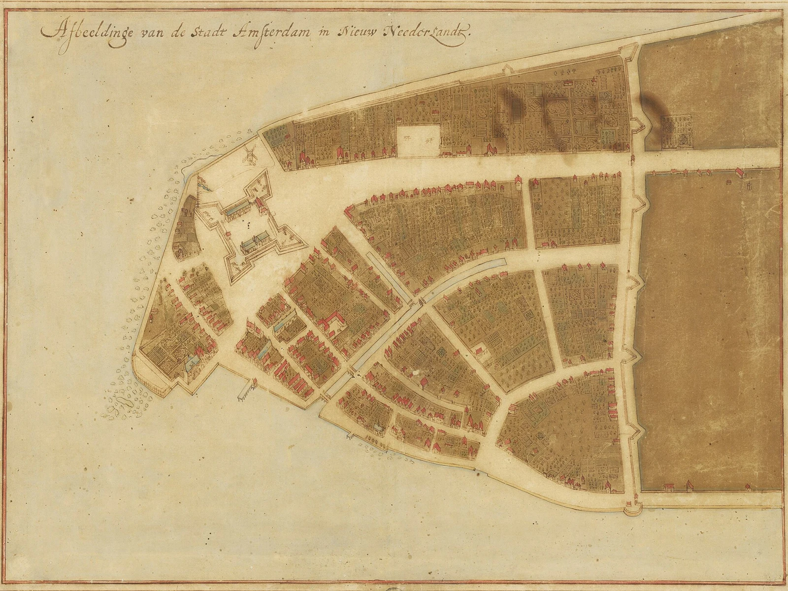
This was Lenape homeland long before Dutch colonists established New Amsterdam in the 1620s. Waterways already connected communities and trade. The English took control in 1664 and renamed the settlement New York.
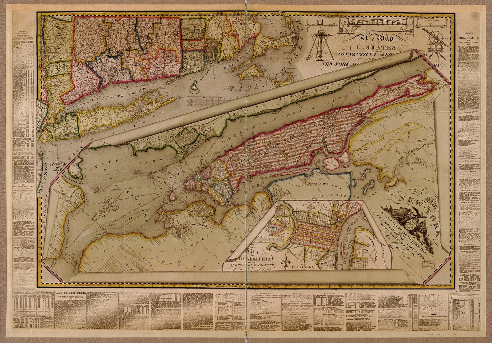
1811: room for a future city
The street grid came before the Erie Canal. In 1811, commissioners adopted a plan for much of Manhattan, extending well beyond the built-up town. Planning would shape how the growing city used its island.
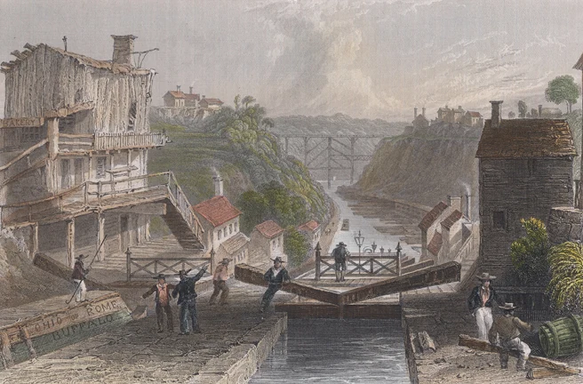
1817–1825: the route reaches west
The Hudson and Mohawk corridors offered a way toward the interior, but falls, rapids and overland crossings interrupted the journey. Construction of the Erie Canal began in 1817. When it opened in 1825, the original canal ran 363 miles from Albany to Buffalo.
The canal did not reach Manhattan. It met the Hudson at Albany; the river completed the route to the harbor. Goods could move between the Great Lakes and Atlantic markets through a connected system.
1883–1904: a larger city takes shape
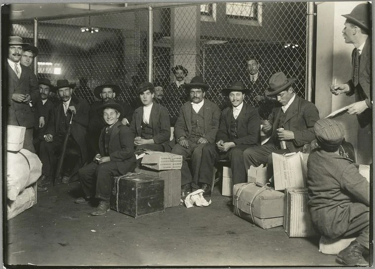
The Brooklyn Bridge opened in 1883. Ellis Island’s federal immigration station opened in 1892. Consolidation brought the five boroughs together in 1898, and the first subway opened in 1904.
Those dates belong to different parts of the same story: trade and migration brought people to the harbor; bridges and transit helped connect their lives across a larger city. Ellis Island remained in operation until 1954, processing roughly 12 million immigrants across its operating years.
1956–1962: the port moves with the technology
Containers changed the land a successful port needed. Large cranes, storage yards, trucks and rail connections rewarded a different waterfront layout.
The Ideal X sailed from Port Newark with containers in 1956. The Elizabeth–Port Authority Marine Terminal opened in 1962. The harbor remained, while much of the region’s container activity developed on the New Jersey side.
Geography helped make New York possible. The work of building and changing those connections made the city.
Sources behind the film
Dates for an event and dates for an image are recorded separately. Modern views provide orientation; archival records show the period in which they were made.
- Lenape communities before European colonizationNational Park Service · Indigenous history and waterways
- Colonial and Early American New YorkNational Park Service · Dutch settlement and English control in 1664
- The Greatest GridMuseum of the City of New York · The Commissioners’ Plan of 1811
- History of the New York State CanalsNew York State Canal Corporation · Construction in 1817 and opening in 1825
- Erie Canal fast factsErie Canalway National Heritage Corridor · Original length, dimensions and locks
- Brooklyn Bridge historyNYC Department of Transportation · 1883 opening
- Ellis Island: Its Organization and Some of Its WorkU.S. National Archives · Immigration station, 1892–1954
- Important NYC DatesNYC Department of Citywide Administrative Services · Consolidation and subway opening
- The World in a BoxPort Authority of New York & New Jersey · Ideal X and the Elizabeth terminal
Images & footage
- Castello Plan of New Amsterdam, 1660Johannes Vingboons (cartographer), Jacques Cortelyou (surveyor) · Public domainCropped, framed and animated.
- New Amsterdam, drawing from 1650–1654Unknown artist · Public domainCropped, framed and animated.
- Lockport, after W. H. Bartlett, 1839engraved after a picture by W.H.Bartlett · Public domainCropped, framed and animated.
- Immigrants at Ellis Island, 1908Lewis Wickes Hine · Public domainCropped, framed and animated.
- Mulberry Street, New YorkDetroit Publishing Co., publisher. · Public domainCropped, framed and animated.
- Commissioners’ Plan of 1811, published 1821John Randel. Engraved by P. Maverik. · Public domainCropped, framed and animated.
- Ore docks at BuffaloDetroit Publishing Company · Public domainCropped, framed and animated.
- View of South Street, c. 1827William James Bennett / The Metropolitan Museum of Art · CC0 / public domainCropped, framed and animated.
- New York subway film, 1905Billy Bitzer · Public domainSilent excerpts edited for this film; some views resized or slowed.
- Aerial views of Brooklyn and Lower Manhattanthe Dronalist · CC BY 3.0Silent excerpt, slowed slightly and reframed.
- Hudson River waterfrontSarowar Hussain · Pexels LicenseSilent excerpts edited for this film; some views resized or slowed.
- The Brooklyn Bridge in New YorkJoseph Eulo · Pexels LicenseSilent excerpts edited for this film; some views resized or slowed.
- Drone footage of New York CityCAPTKHO kho · Pexels LicenseSilent excerpts edited for this film; some views resized or slowed.
- Commercial traffic on the East RiverCityXcape · Pexels LicenseSilent excerpts edited for this film; some views resized or slowed.
- Immigrants landing at Ellis Island, 1903Alfred C. Abadie / Thomas A. Edison, Inc. · Public domainSilent excerpts edited for this film; some views resized or slowed.
- Waterfront and Brooklyn Bridge from the East River, 1903Edwin S. Porter / Thomas A. Edison, Inc. · Public domainSilent excerpts edited for this film; some views resized or slowed.
- Crossing the Brooklyn Bridge, 1899Thomas A. Edison, Inc. · Public domainSilent excerpts edited for this film; some views resized or slowed.
- Google Earth Studio — New York map reelGoogle Earth and imagery providers credited in each frame · Educational online video use under Google Geo Guidelines; required attribution embeddedCamera animation and explanatory overlays; Google and imagery-provider credits remain visible in the film.
- Aqueduct, cargo-transfer and lock schematicsVastereo · Original graphics created for this filmOriginal explanatory diagrams.
Narration: George, via ElevenLabs. Music: Surrender — Asher Fulero, YouTube Audio Library.
← Back to Vastereo